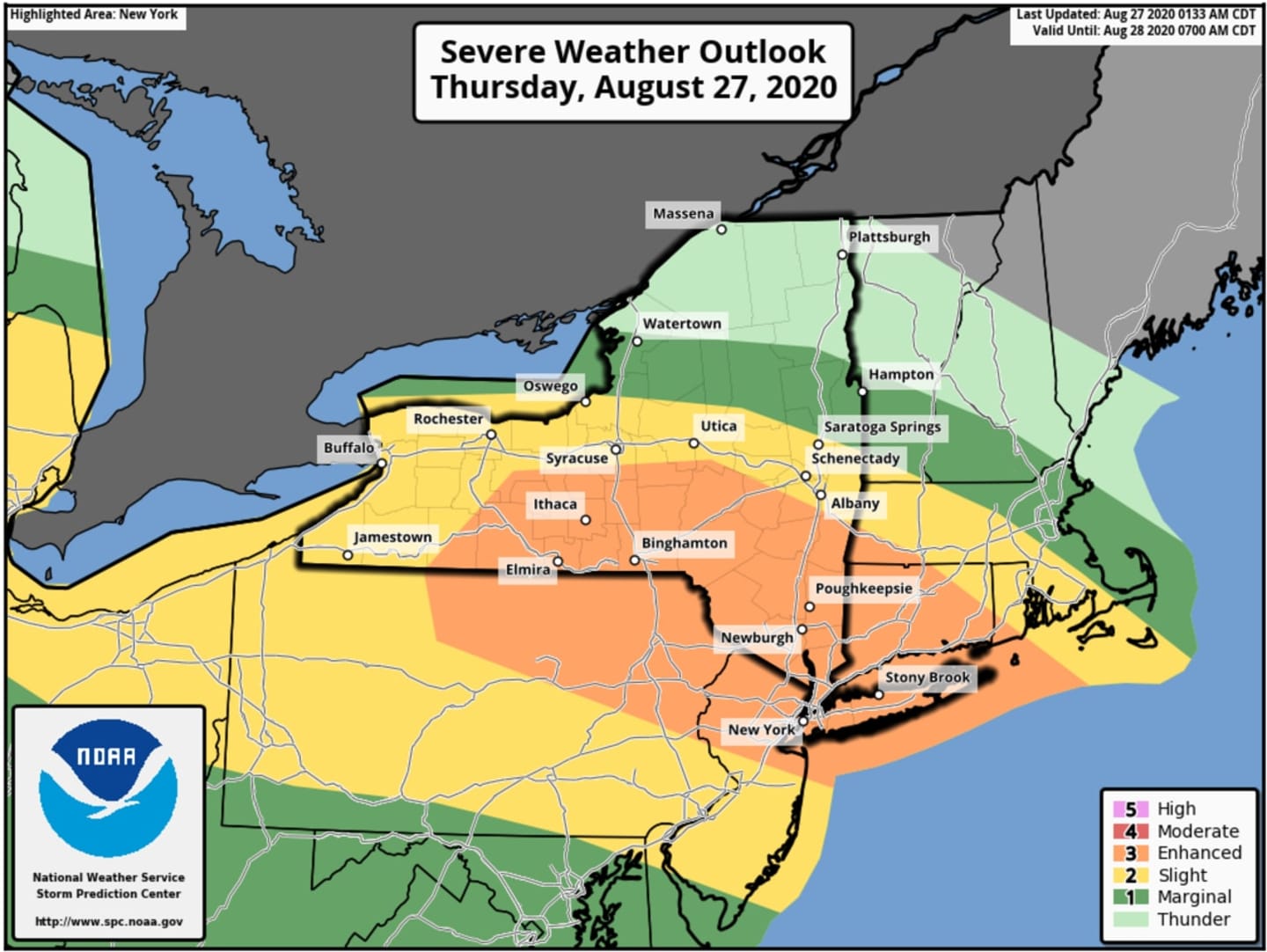

The new likely time frame for storm activity on Thursday, Aug. 27 is from 2 p.m. to 10 p.m., with the most powerful cells in the system now expected to move through in the late afternoon and early evening. (See the two images above for areas where storms are most likely.)
The storms will be triggered by warmer, more humid air on Thursday, with the high temperature jumping back to the upper 80s after a cool and comfortable day on Wednesday, Aug. 26 with low humidity.
Friday, Aug. 28 will be mostly sunny with the high temperature in the mid 80s, but clouds will thicken in the afternoon, and there will be another chance for showers and thunderstorms in the afternoon and evening.
The remnants of Hurricane Laura, expected to become a tropical storm late in the morning or early in the afternoon Wednesday after making landfall overnight in Louisiana, will be felt in this region on Saturday, Aug. 29.
Showers and possible thunderstorms will move in Saturday morning and last during the day and into the evening, with up to a half-inch of rainfall possible.
But there's still some uncertainty on the precise path of Laura.
Check back to Daily Voice for updates.
Click here to follow Daily Voice Greenburgh and receive free news updates.