The time frame for the storm is from just after midnight on Monday, Feb. 7 until the early morning hours of Tuesday, Feb. 8.
Though it's a 24-hour window, the good news is that a climb in temperatures during the day Monday means most of the precipitation will be in the form of rainfall, and no more than a coating of snow is expected.
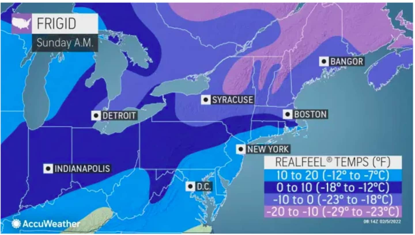
Sunday, Feb. 6 will be a clear and cold day with a high temperature in the upper 20s and wind-chill values in the teens (see the image above.)
Clouds will thicken Sunday night, leading to the way for a chance of freezing rain starting around 1 a.m. Monday. That will be followed by a chance for snow showers through late Monday morning, with any snow then mixing with rain later in the morning before turning to all rain by around midday Monday, as the high temperature climbs to the mid to upper 30s.
The chance for a mix of rain and snow continues until around 1 a.m. Tuesday.
Tuesday will be mostly sunny with a high temperature climbing to the low 40s.
Check back to Daily Voice for updates.
Click here to follow Daily Voice Greenburgh and receive free news updates.